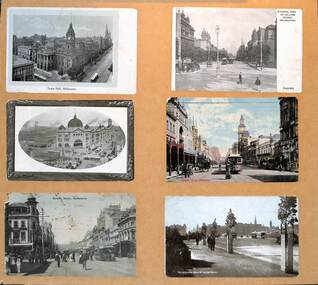


Historical information
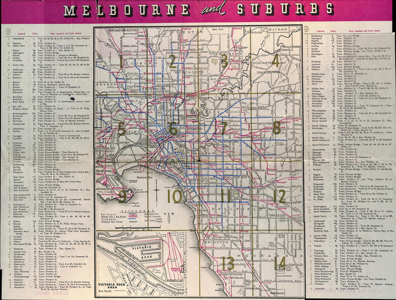
Map printed by the Victorian Railways in 1955 gives places of interest, some facts about Melbourne, and amusements, with the map showing rail, tram, and railway bus routes, suburbs, golf links, sporting grounds, and municipalities. The Bourke St tram route to East Preston is shown but not the Nicholson St East Brunswick line which opened during mid 1956. Provides a detailed list of suburbs, miles from the GPO, and how reached from where. Notes it was published in Jan. 1956 by the VR Public Relations and Betterment Board.
Significance
Demonstrates a Victorian Railways printed map of Melbourne
Physical description
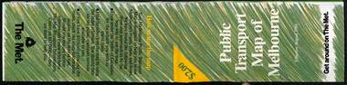
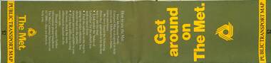
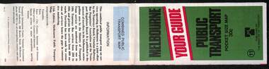
Map - 8 fold printed in colour